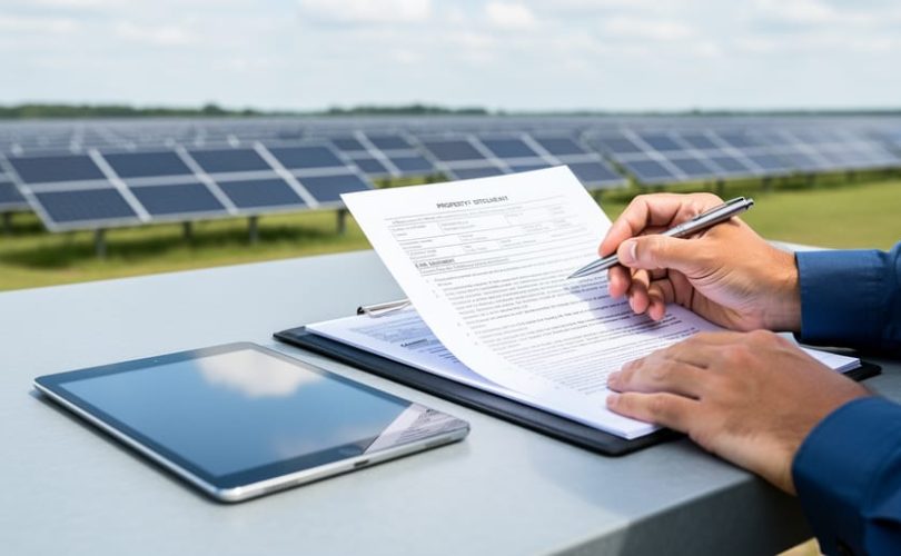
Land feasibility screening for photovoltaic projects determines whether a parcel possesses clear title, manageable easements, and legally defensible access rights before site acquisition or development commitments. The screening process typically requires two to four weeks and involves title examination, easement mapping, access right verification, and utility coordination review. Developers who complete this due diligence before land negotiation avoid project delays, reduce legal costs by 30 to 50 percent, and eliminate parcels with fatal title defects that could block interconnection or construction.
The solar industry’s rapid expansion has created demand for utility-scale and distributed generation sites, yet many aspiring developers underestimate the legal complexity embedded in land records. A parcel may appear ideal from an irradiance or topographical perspective while harboring easements that prohibit permanent structures, restrict grading, or grant third-party access that conflicts with solar operations. Title defects such as breaks in the chain of ownership, unresolved liens, or boundary disputes can delay projects by months or render parcels unusable.
Mose Solar collaborates with universities and industry legal experts to deliver educational resources that translate real estate law into actionable screening protocols for PV professionals. This guide provides the tools, sequential steps, and verification methods required to evaluate land title and easements systematically. By integrating legal feasibility into early-stage site selection, developers protect capital, accelerate permitting, and build portfolios on legally sound foundations. Understanding these principles positions emerging solar professionals to navigate acquisition confidently and avoid costly mistakes that derail projects after significant investment.
Essential Tools and Documentation for Land Feasibility Screening

Professional Resources and Partnerships
A successful land feasibility screening requires assembling a qualified team of specialists who bring distinct expertise to the evaluation process. Attempting to navigate title and easement analysis alone increases the risk of missing critical issues that could derail your project months into development.
Title Companies and Abstractors provide preliminary title reports that reveal ownership history, recorded liens, easements, and encumbrances. Choose firms with experience in commercial or renewable energy transactions, as they understand the specific title concerns that affect large-scale PV installations.
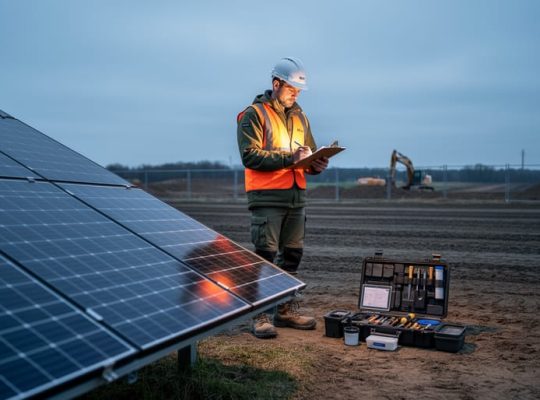
Licensed Land Surveyors verify property boundaries, locate existing easements on the ground, and identify encroachments or boundary disputes that title searches might not fully reveal. Their ALTA surveys create the spatial foundation for overlay analysis with your proposed array layout.
Real Estate Attorneys specializing in energy or land use interpret complex title documents, assess the severity of easement restrictions, and structure strategies for clearing title defects or negotiating easement modifications. They prove essential when ownership chains are unclear or competing claims exist.
GIS Specialists and Spatial Analysts map property boundaries, easement corridors, and development constraints in digital formats that integrate with preliminary site designs. Their spatial analysis reveals conflicts between recorded easements and planned infrastructure placement.
This collaborative model mirrors the educational approach Mose Solar employs through university partnerships, where cross-disciplinary expertise strengthens outcomes. Building relationships with these professionals early creates a resource network you’ll leverage throughout your development pipeline, not just on individual projects.
Critical Warnings and Project-Stopping Conditions
Before investing time and capital into site design, permitting, or interconnection studies, you must identify conditions that make a parcel legally undevelopable for solar PV. Certain title defects and easement conflicts cannot be mitigated within reasonable timelines or budgets, and recognizing them early prevents costly project abandonment downstream.
A clouded title, where ownership chain contains gaps, conflicting claims, or unresolved estate transfers, creates legal uncertainty that lenders and investors will not accept. If the preliminary title report reveals breaks in the chain of title, undischarged mortgages from defunct lenders, or competing ownership assertions, the parcel requires extensive legal remediation. Title insurance companies often refuse coverage until these defects are cured, which can take months or prove impossible if heirs cannot be located or boundary disputes remain unresolved.
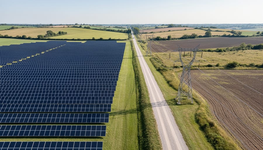
Utility easements present another category of project-stopping conditions. While many easements allow compatible uses, transmission line corridors, gas pipeline rights-of-way, and telecommunications infrastructure often include exclusivity clauses that prohibit permanent structures within defined setbacks. If an existing easement crosses the center of your proposed array footprint and the utility company refuses modification or subordination, you cannot proceed with that layout. Relocating arrays around wide easement corridors may render the remaining developable area too small or fragmented to achieve target capacity.
Access disputes shut down projects even when title appears clear. If the property lacks deeded access to a public road and relies on prescriptive use or verbal agreements with neighboring landowners, you face legal risk. Construction equipment, delivery trucks, and ongoing maintenance vehicles require documented ingress and egress rights. A neighboring property owner can halt construction by disputing access, and securing new easements through eminent domain or negotiation introduces delays incompatible with interconnection deadlines.
Unresolved liens and restrictive covenants also terminate feasibility. Tax liens, mechanic’s liens, or judgment liens must be satisfied before closing, and if the seller lacks resources to clear them, the transaction stalls. Similarly, subdivision covenants or homeowners’ association restrictions that explicitly prohibit commercial, industrial, or energy generation activities cannot typically be overturned without unanimous consent from all covenant beneficiaries, a practical impossibility in most cases.
When you encounter these conditions, document them immediately, notify stakeholders, and either negotiate remedies with hard deadlines or redirect resources to parcels with clean title and compatible easements.
Step-by-Step Land Feasibility Screening Process
Step 1: Preliminary Property Identification and Data Gathering
Begin with the county assessor’s online database for your target region. Search by address, GPS coordinates, or visual map selection to identify parcels meeting your minimum acreage requirements, typically five acres or more for utility-scale PV projects. Record the Assessor’s Parcel Number (APN) or Tax ID for each candidate site; this unique identifier anchors all subsequent research.
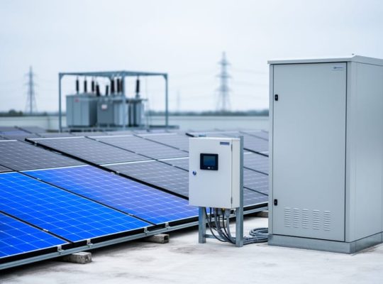
Download parcel boundary files from the county GIS portal, ensuring you capture ownership records, legal descriptions, and acreage measurements. Cross-reference these files with aerial imagery to verify that site topology appears suitable for solar arrays and the inverter AC system infrastructure you’ll need. Note nearby transmission lines, substations, and existing land uses that might indicate compatibility or conflicts.
Compile a preliminary property profile for each parcel: owner name and mailing address, total acreage, tax assessment value, and current land use designation. Most assessor sites provide this data in downloadable spreadsheets. Verify that ownership records are current, properties changing hands frequently signal potential title complications you’ll uncover in the next screening phase.
Step 2: Title Search and Ownership Verification
Begin by ordering a preliminary title report from a qualified title company or abstractor in the county where the property is located. Submit the parcel’s Assessor’s Parcel Number (APN) and legal description obtained in Step 1. Most title companies deliver preliminary reports within three to seven business days, though timelines vary by jurisdiction and workload.
When the report arrives, review the current vesting deed first to confirm the legal owner and ownership structure, individual, LLC, trust, or multiple co-owners. Match this information against county assessor records; discrepancies signal potential issues requiring attorney review. Next, trace the chain of title backward at least 30 years to ensure each transfer was properly recorded and executed. Gaps, irregular conveyances, or missing signatures can cloud title and delay project approval.
Examine Schedule B exceptions carefully. This section lists all recorded items affecting the property: mortgages, deeds of trust, tax liens, judgment liens, mechanics’ liens, and lis pendens notices. Any outstanding lien must be resolved before closing, as encumbered properties create financing obstacles. Pay special attention to old mortgages or deeds of trust that should have been released but remain on record, these “zombie liens” require formal reconveyance documents.
Flag any competing claims or adverse interests: life estates, mineral rights reservations, leasehold interests, or co-ownership disputes. These conditions often render land unsuitable for PV development or require complex legal negotiation beyond typical project timelines. Document every finding systematically; you’ll need this information when engaging attorneys or determining whether to proceed.
Step 3: Easement Identification and Impact Analysis
With the preliminary title report in hand, your next task is systematically cataloging every easement affecting the property and determining whether they conflict with your proposed PV array footprint. Easements grant third parties specific use rights to portions of your land, and overlooking even a narrow utility corridor can force costly design revisions or render a site unviable.
Start by extracting all easement descriptions from Schedule B-II of the preliminary title report. Record each easement’s type (utility, access, drainage, conservation, pipeline), beneficiary, purpose, and the legal description defining its location. Common easements include overhead and underground electric transmission lines, natural gas pipelines, telecommunication conduits, road access corridors, stormwater drainage channels, and agricultural or conservation restrictions.
Next, plot these easements onto your site map using GIS software or CAD tools. If the title report references recorded plat maps or exhibit documents, obtain copies from the county recorder’s office to verify precise locations and widths. Many utility easements specify not just the centerline but also lateral clearance zones where structures are prohibited, a 20-foot-wide easement often means a 40-foot total restricted corridor.
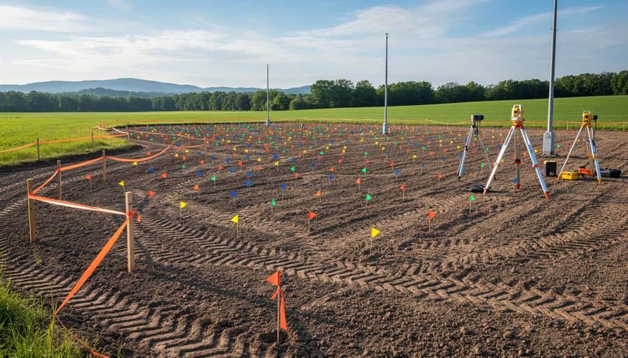
Overlay your preliminary array layout on this easement map. Identify conflicts where panel rows, access roads, inverter pads, or underground collection lines would fall within restricted zones. Assess whether minor layout adjustments can avoid the easement or if the conflict is insurmountable. Contact easement holders directly to understand their specific restrictions; some utilities permit ground-mounted panels beneath overhead lines if height clearances are maintained, while others prohibit any improvements.
Flag properties where easements consume more than 15% of usable acreage or bisect the site in ways that fragment the developable area into impractical segments.
Step 4: Access Rights and Ingress/Egress Evaluation
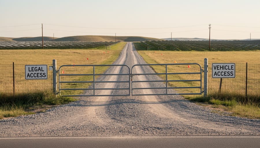
Legal access verification begins with confirming that the property has a recorded right to reach a public road. Review the title report for deeded access or recorded easements that grant ingress and egress from a county-maintained or state highway. If the parcel appears landlocked or relies on informal access across neighboring properties, obtain survey plats and adjacent parcel records to trace any historical access routes that may have been omitted from the title chain.
Evaluate whether existing access easements meet ingress and egress requirements for width, surface condition, and load capacity. PV construction demands delivery of heavy equipment, concrete trucks, and inverter skids; a ten-foot-wide dirt path may suffice for ranch access but will not support loaded semi-trailers or cranes during installation. Obtain recorded easement language to verify dimensions, permitted uses, and maintenance obligations, some agricultural easements prohibit commercial traffic or restrict seasonal use during wet months.
Assess whether the site requires new or upgraded access. If existing easements are insufficient, determine whether adjacent landowners will grant expanded rights, negotiate a separate ingress/egress agreement, or whether the developer must construct a new access road from the nearest public right-of-way. Confirm that any proposed access route avoids environmentally sensitive areas, wetland buffers, or steep grades that increase construction costs and trigger additional permitting requirements.
Step 5: Zoning and Land Use Compliance Review
After confirming title and easement status, cross-reference your findings with the jurisdiction’s zoning ordinances and land use regulations. Contact the planning or zoning department to obtain current zoning district classifications, permitted use tables, and any solar-specific ordinances or amendments. Verify that commercial solar energy facilities are a permitted or conditional use in the property’s zoning district. If solar is not explicitly listed, determine whether it qualifies under agricultural, utility, or accessory use categories.
Review dimensional standards including minimum lot size, maximum lot coverage, setback requirements from property lines, roads, and structures, and height restrictions that may affect racking or tracker systems. Identify any overlay districts such as floodplain zones, historic preservation areas, airport approach zones, scenic corridors, or agricultural preservation districts that impose additional constraints. Check whether the site falls within areas subject to special permits, design review, or public hearing requirements.
Compare setback and coverage requirements against your preliminary site layout to confirm adequate developable area remains after complying with all dimensional standards. This regulatory layer often reveals conflicts that weren’t apparent from title or easement review alone, similar to how roof design constraints can reshape residential installations. Document all applicable regulations and flag any provisions requiring variance applications or conditional use permits before development can proceed.
Verification and Mitigation Strategies
Once you’ve completed the initial screening, cross-verify your findings before moving forward. Order a full title commitment from your title company and compare it against your preliminary report to catch discrepancies. Engage a licensed surveyor to physically locate and confirm easements on the ground, recorded plats don’t always match reality, and field verification prevents costly layout errors during construction. Interview adjacent landowners, utility companies, and the local planning department to uncover unrecorded arrangements or informal use patterns that public records miss.
Key verification methods include:
- Cross-referencing county recorder, assessor, and GIS databases to confirm consistency across sources
- Commissioning an ALTA survey to identify physical encroachments, boundary conflicts, and easement locations
- Conducting stakeholder interviews with neighbors, utilities, and municipality staff to reveal unrecorded agreements
- Obtaining legal opinion letters from a real estate attorney to validate title interpretations and risk assessments
When issues surface, develop targeted mitigation strategies rather than abandoning the site immediately. For utility easements cutting through your proposed array, work with the utility to negotiate an easement modification or relocation, many are willing to accommodate if you cover costs. Title defects like outstanding liens or breaks in the chain of title often resolve through a quiet title action or by purchasing title insurance that insures over the defect. If access rights are inadequate, pursue additional easements from neighboring parcels or redesign your site entrance to use existing legal access.
Consider alternative array layouts when physical constraints can’t be eliminated. Shifting the PV footprint fifty feet may avoid a drainage easement entirely, preserving project economics without lengthy legal negotiations. Factor in how local content rules or module sourcing requirements affect your layout flexibility, some mitigation strategies create tighter site constraints that influence procurement decisions downstream. Document every mitigation step with updated site plans, correspondence records, and legal memoranda so future project phases inherit a clear resolution path rather than rediscovering the same obstacles.
Next Steps After Feasibility Determination
Once your screening process confirms viable land or identifies barriers, your next actions determine whether the project advances, stalls, or terminates. Clear decision pathways prevent wasted resources and keep development timelines realistic.
For parcels that clear the title and easement screening with no significant issues, immediately initiate the next phase of due diligence. Commission environmental assessments including wetland delineation, endangered species habitat surveys, and cultural resource studies. Simultaneously, engage civil engineers to perform topographic surveys, geotechnical investigations, and preliminary interconnection feasibility studies. These parallel workstreams build the complete site picture needed for design and permitting.
When screening reveals correctable issues such as outdated easements, minor title defects, or negotiable access constraints, evaluate the cost and timeline for resolution against project economics. Easement modifications typically require negotiation with utility companies or adjacent landowners, a process that can span three to nine months. Title curing may involve quiet title actions or working with previous owners to execute corrective deeds. Assign these tasks to qualified real estate attorneys and track resolution milestones closely, as delays here cascade through the entire development schedule.
If screening uncovers project-stopping conditions like irrevocable conservation easements prohibiting solar use, unresolvable title disputes, or inadequate access rights with no practical remedy, formally disqualify the parcel and document the specific reasons. This disciplined culling protects your team from pursuing unviable sites and allows you to redirect efforts toward properties with genuine development potential. Maintain a rejection log noting why each site failed screening; these patterns inform future site selection criteria and improve your identification process over time.
Common Questions About PV Land Title and Easement Screening
How long does a comprehensive title and easement screening typically take?
A thorough screening usually requires two to four weeks once you order the preliminary title report, though complex properties with multiple owners or numerous easements may extend the timeline to six weeks. Rush services exist but often sacrifice thoroughness for speed.
What does land feasibility screening cost for a typical PV project site?
Initial screening costs range from $2,000 to $5,000 for a single parcel, including preliminary title reports, basic surveys, and professional review time. Properties with complicated title histories, multiple easements, or boundary disputes can push costs above $10,000 before you even reach environmental assessments.
Should I hire professionals or can I conduct the screening myself?
While you can gather preliminary data from public records, interpreting title reports and easement language requires expertise that real estate attorneys and title professionals bring. Most successful developers establish partnerships with these specialists early rather than attempt complex legal analysis independently.
How do I handle properties with multiple co-owners or fractured mineral rights?
Multiple owners require unanimous consent for solar development leases, which complicates negotiations significantly. Properties with severed mineral rights, common in oil and gas regions, may contain subsurface easements that surface into your development plans, requiring legal counsel to assess conflicts and negotiate protective clauses.
Properties that pass initial screening still face hurdles. Historical easements recorded decades ago sometimes contain vague language that requires judicial interpretation, and outdated surveys may not reflect current boundary conditions. When you encounter ambiguous easement descriptions or conflicting title documents, engage a real estate attorney immediately rather than guessing at legal implications. The cost of early legal review pales against the expense of discovering a fatal flaw after committing to site preparation.
Aspiring developers often ask whether screening complexity varies by region. It does. Western states with Bureau of Land Management involvement present different challenges than Eastern private land transactions, and areas with active mineral extraction add subsurface rights complications that coastal properties rarely face. Understanding regional patterns helps you anticipate screening depth and budget accordingly, much as understanding solar PV logistics requires adapting to local infrastructure and regulatory frameworks.
The screening process also raises timing questions about when to involve landowners directly. Gather public information first, then approach owners once you have confirmed basic feasibility. This sequence prevents premature negotiations on unsuitable sites and demonstrates professionalism when you do initiate discussions with landowners who hold viable parcels.
Systematic land feasibility screening is the foundation of every successful solar PV project. The title and easement analysis you conduct today determines whether your project proceeds smoothly or encounters expensive legal obstacles months into development. Projects that skip thorough screening often face construction delays, unexpected costs, or complete abandonment after significant capital investment.
The step-by-step process outlined here, from preliminary property identification through verification and mitigation, provides the framework aspiring PV professionals need to evaluate sites with confidence. Mastering these screening techniques distinguishes competent developers from those who gamble with project viability. Each verification step, from title searches to easement mapping, protects your project timeline and investment capital.
However, reading about feasibility screening differs substantially from applying these principles in real-world scenarios. Aspiring photovoltaic professionals benefit from structured education that combines theoretical knowledge with practical application. Mose Solar’s university-collaborative programs offer hands-on training in land assessment, due diligence procedures, and project development workflows that prepare you for the complexities of commercial PV deployment.
The solar industry needs professionals who understand that thorough site screening is not an obstacle to overcome but the essential first step toward project success. Your commitment to systematic evaluation today builds the expertise that drives the renewable energy transition forward.